
What You Missed
Fall 2026
Fall 2026
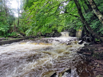


 On Wednesday, October 7th, I had ambulance coverage from 8:30 AM to 2:30 PM. I decided to once again go to Parksville as it is close and has a nice waterfall with rapids above and below. I asked Cindy if she would like to go and she agreed. When I got up at 6:30 AM, the temperature was 28 degrees! We started getting ready at 10:15 AM with the temperature at 58 degrees on the back porch and blue skies with some clouds. As I was getting dressed, Sheena sniffed my clothes to confirm we were going to hike. I got dressed in my Mammut long-sleeved crew shirt without a baselayer. I put on a pair of RailRiders hiking pants which are expensive but last a long time and have features like deep pockets and a generous cut which I really like. I decided to put on my Keen Durand hiking boots which fit well. I added a new pair of Xstance insoles in an effort to find the best support and cushioning for my feet. These insoles have shock absorbing gel pads, TPU arch support, and memory foam cushioning all wrapped in a breathable fabric. The insoles have been hyped by their manufacturer and seemed to be living up to their claims. I grabbed a pair of Leki Micro Vario poles I have been using for some time because they are light and lock without slipping. I decided to wear my OR BugOut gaiters as a defense against the ticks that are looking for a warm home and a meal! I also put on my Mammut hoody as it has enough zippers to dump heat. I put the ecollar on Sheena and turned it on. I decided not to take my pack as I had plenty of pictures from the area and water was not an issue. We left Livingston Manor at 10:25 AM with the skies still sunny and blue. I drove out Old Route 17 toward Parksville and just after Fox Mountain Road, I pulled into the parking area on the right side of the road where there were no cars parked. We started out on the trail at 10:40 AM with the temperature at 58 degrees.
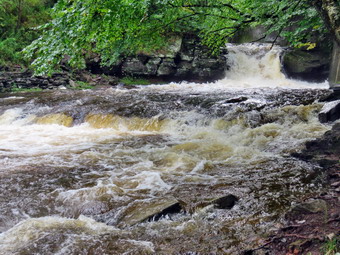 The first part of the trail was dry due to the direct sunlight and lack of rain. There was no standing water as this part of the trail drains well. The trail itself was about as I expected with some areas of mud in all the usual spots. The rail trail runs parallel to the Little Beaverkill and the new section of State Route 17. It follows the route of the O&W railroad and is very flat. The water level in the stream was much lower than I had seen it in some time. Someone had cut and cleared the blowdown that had been laying on the trail and the one after it making walking smooth sailing. As we continued to hike, we passed several benches placed for people to rest. We were soon at the beginning of the wooden walkway but did not stop at this area as it has become overgrown and it is hard to get a good view. I did notice the view was opening up as the leaves were falling from the trees. We crossed the wooden walkways and bridge which were not slippery as they were only damp. The work the Town of Liberty crews had done on the bridge and some spots on the trail had held up under the recent rains from the storms. We came to the bridge and found that the work done to prevent erosion worked perfectly. The water coming down the stream was reduced since our previous visit and it fell over the large boulders that had been placed and was directed through the culvert. The culvert under the bridge was clear and allowing water to drain downhill. The large boulders now held back the dirt and stones that often wash down the hillside to block the flow of water through the culvert. The crushed stone on either side of the bridge held and remained in place. In a very short distance we came to the area where a large mudslide had brought trees and dirt down onto the trail. This area had been cleared and crusher run added to replace the mud. The area was well drained with no mud or standing water. The grass from the hay that had been spread was very green and holding the soil together to prevent a mudslide. I noted the other places where they had done work and all of it seemed to be holding up well.
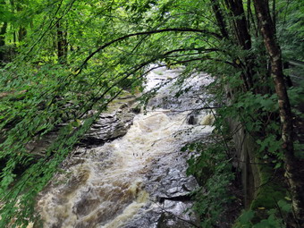 We continued on the trail heading toward the falls. As we walked toward the falls, I could hear the noise from the stream. When we came to the falls, I saw that the water level was low compared to what I expected. I took a peek at the falls from above and then we pressed on towards Parksville. I took a moment to look at the rapids above the falls as we passed. The rest of the trail was wet but without standing or running water. We continued our hike through some areas of mud. Soon we were nearing the Parksville end of the trail. The large dog across the stream was missing. On the Parksville end of the trail we found the small garden and a very informative sign. The pack of barking dogs that always greets us was not there and here was no loud music. The sign listed the businesses and hotels that existed in Parksville during its heyday. The Young's Gap Hotel had room for 600 guests! The sign also explained the role of the railroad in the dairy industry which was a thriving one in all of Sullivan County. We turned around and headed back toward the car at 1!:15 AM meaning our hike out was 35 minutes. We set what I thought was a faster pace on the way back. We passed the falls and continued our quick pace. We passed the mudslide and continued and I made sure that Sheena was beside me. We continued along the trail and soon were nearing the open part of the trail near the parking area. We were back at the car at 11:45 AM having walked back to the car in 30 minutes. We complete the whole hike in 1 hour and 5 minutes. I did feel much better and more relaxed. The temperature at the car was 60 degrees.
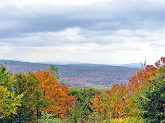 On Friday, October 2nd, I awoke at 7:30 AM and noted the temperature outside was 58 degrees! I had ambulance coverage from 8:30 AM to 2:30 PM and decided I would do a longer hike to see if I could see some colorful leaves. The forecast was for blue skies with some clouds amd temperatures in the 60s. I started to get ready at 9:30 AM with the temperature at 66 degrees on the back porch. As usual, Sheena was excited but was trying to be the "good dog". I got dressed in my Mammut long-sleeved crew top without a baselayer. I put on a pair of RailRiders hiking pants which are expensive but last along time and have features like deep pockets and a generous cut which I really like. These pants do not have Velcro closures at the ankles to discourage sticks and gravel from getting into my shoes and to combat ticks. I decided to put on my Keen Durand hiking boots which fit well. I added a new pair of Xstance insoles in an effort to find the best support and cushioning for my feet. These insoles have shock absorbing gel pads, TPU arch support, and memory foam cushioning all wrapped in a breathable fabric. The insoles have been hyped by their manufacturer and seemed to be living up to their claims. I put on my OR BugOut gaiters to block the ticks and fend off the mud I expected to find. I grabbed a pair of Leki Micro Vario poles I have been using for some time because they are light and lock without slipping. I put our gear in the back of the car and Sheena in the back seat and left the house at 9:45 AM. I drove out DeBruce Road for 6 miles and turned left of Mongaup Road. I drove to where the road splits and stayed left on Beech Mountain Road. When I reached the parking areas, I found no cars parked. I pulled into the smaller lot and parked.
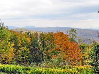 I set my GPS and we crossed the road to begin our hike on the Flynn Trail with the temperature at 64 degrees. The skies were blue with plenty of sun and some puffy white clouds. The leaves around the parking area were colorful but most were yellows and many were on the ground. I couldn't wait to see the colors at higher elevations and around the ponds. We followed the fLynn Trail through the woods until it turned right on what was once Beech Mountain Road. The road once led to the Beech Mountain Boy Scout Camp. The camp was situated on what was once the Patrick Flynn estate and encompassed over 1700 acres of land. After the Flynn mansion burned, in the 1926 the land passed through several banks before being purchased by the Orange-Sullivan Council of the Boy Scouts of America. The camp opened after World War II and finally closed in 1996. Some of the land became state land as part of the Willowemoc Wild Forest. The rest of the land, espcially the area around Hodge Pond, was privately owned passing into the hands of the Open Spaces Institute and now the Beaverkill Land Trust. These entities allowed the NYNJTC to create trails that passed through the land and allowed access to Hodge Pond and the Sullivan County high point on Beech Mountain. The Land Trust bulldozed the last of the camp buildings three years ago. I was sad to see them go but they really were an eyesore and anyone walking around and through them could have been injured. We started the walk up the Flynn Trail and I must admit I was not sure I was prepared for a longer hike with some significant elevation gain. I picked a pace that I though I could maintain for six miles or so. The weather was beautiful and the trees were colorful although not spectacular. There was a layer of newly fallen leaves on the trail making me think that this was the weekend to see the colors of fall
 After a little more than a mile, we came to the point where a path leads to a clearing on the right side of the trail. I really wanted to take a look at the clearing but knew that my plan was already using my limits. A winding woods road leads to the clearing. The clearing itself has only a thin layer of topsoil. When Beech Mountain Road was being constructed, soil from the clearing was used as fill for the road. Over the many years from then until now, only a few small trees have been able to take hold in the shallow soil. We continued on the trail without stopping heading for the four-way hunction of the Flynn Trail, Big Rock Trail and a snowmobile trail to Mongaup Pond. Most of the blowdowns on the trail had been cleared but a few still remained. At 11:05 AM we arrived at the trail junction having covered the 1.7 miles in 1 hour which was a slow but acceptable time. We continued through the junction straight ahead on the Flynn Trail. Not too far along we passed through a gate that separated state land from the land owned by the Beaverkill Valley Land Trust. When we arrived at the next junction, the Flynn Trail stays left and heads down to Hodge Pond. Sheena and I turned right to take the woods road that leads to one of the nicest lookouts in the western Catskills. Larry Rockefeller has a cabin on the east side of Beech Mountain. I would guess it is owned by the Land Trust. The land and some trails have been generously made available to the public. We came to another intersection where a woods road runs left to Hodge Pond. A little further along a road comes in from Shin Creek Road allowing access by vehicle to members of the Land Trust. We continued straight ahead and began to climb.
 Over the next .5 miles the road climbs about 300 feet at a grade of 12%. This is not a very steep climb but I had not been climbing much and most hikes have been 4 miles or less. As we climbed I could really begin to feel that my legs were tired and there was some discomfort in my lower back. The road was covered in blowdowns that had not been cleared and I was pretty sure there would be nobody at the cabin. In fact, I have never seen anybody at the cabin except some workmen and surveyors from time to time. We walked passed a small gravel quarry and to an area where the trail turned to the right. There was once a nice lookout on the left side of the trail but this lookout, like so many others in the Catskills, had grown in over time and there was no view. Just after the road turned right, a trail turned to the right. This was one end of the trail that surrounds the base of Flynn's Point the highest point in Sullivan County. We continued on the road as I knew we would return to this point as we hiked the trail around the point. We came to a spring on the right side of the road. It was sad to see that the once well-maintained spring house was now torn apart. Sheena got a drink and we continued on the trail. We reached the high point on the trail and made the short descent to the clearing or front lawn of the cabin. We passed a trail on the right which is part of the trail that runs around the base of Beech Mountain. A little farther along a path to the left goes to Mongaup Mountain which is on the Catskill's Highest Hundred list. I should mention that while I was slogging along, Sheena was having a great time running ahead, following game trails, and running back to me.
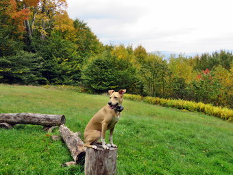
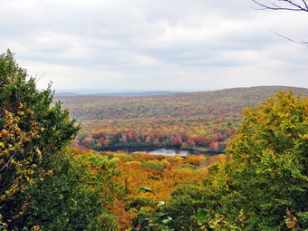
 We arrived at the cabin and we walked over to the fire ring where I dropped my pack. I was a little disappointed as the trees had grown faster than I expected and the view was not as open as it once was. There was great color in the trees close to the cabin. I got out the camera and took shots of some of the trees. I turned my attention to the mountains in the distance. I used the zoom to get some shots although there was a lot of haze. I asked Sheena to get up on a block of wood which she did. I took some pictures. I got a drink and a bar and we left the cabin and headed toward the trail that goes around Beech Mountain. We climbed a small hill, passing some camping platforms, and reached the trail where we turned left. As we walked on the trail toward the west side I noticed the very impressive cliffs on the right. I had both ascended and descended these cliffs and they are a challenge. As we walked around the southern end of the trail, the skies grew dark and the wind began to blow. I was sure this would result in us getting drenched but there wasn't much I could do about it. Approaching the lookout over Hodge Pond, we had to avoid a few large trees across the trail. We came to the lookout and I was pleasantly surprised that someone had cut down the trees that had obscured the view. Hodge Pond and hills surrounding had trees with bright reds, oranges, and yellows. The skies were overcast but that added to the contrast. I drooped my pack and took out the camera. I took a picture of the sign showing someone falling and then walked out onto the viewpoint.I took shots of the whole area and then zoomed in on the area around Hodge Pond. I changed position and took some more pictures. After finishing, I retreated o my pack, put away the camera, got a drink, and got back on the trail. Sheena was in the lead but the discomfort in my pack had increased and seemed to get worse with each step. We walked out to the road and turned left to complete the loop and head back to the Flynn Trail. Walking downhill was easier on my legs but my back still bothered me no matter how I adjusted the pack.
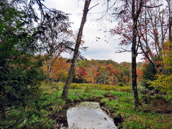
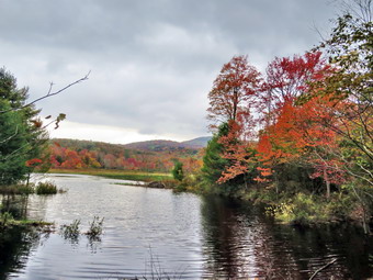
 We arrived at the junction with the road from Shin Creek and passed it quickly. At the next path down to Hodge Pond I considered turning right. I decided not to go down to Hodge Pond as I already had pictures from the viewpoint. I had limited time and wanted to get to Frick Pond. I also knew that walking down to Hodge Pond meant walking back up to the Flynn trail. We continued straight ahead to the Flynn Trail where we turned left to head for the junction with the Big Rock Trail. The walk along this flat part of the trail made me feel better. We passed back through the gate and were soon at the junction. I thought about continuing along the Flynn Trail back to the car as the trail is in good shape and the descent is gradual. Since I wanted to get some pictures of Frick Pond, we turned right ad started down the Big Rock Trail. The Big Rock Trail was only a little damp as we started down the long descent. The trail is rocky and made my footfalls unstable which aggrecated my back. This trail can be tricky as there are three levels that make it seem like the bottom of the hill. On this day the descent seemed to go on forever and I was discouraged. We encountered swarms of insects so I tried to quicken my pace. This helped a little with the insects but did nothing for my back. Eventually we made it down the last descent to Times Square. We continued our hike by walking straight across Times Square to stay on the Big Rock Trail. The Big Rock Trail around the back of Frick Pond can be very wet and today was no exception with plenty of mud. Sheena hiked right through the water and mud that was present and was getting filthy! We came to the first of two small bridges over the inlets to the pond and I decided to stop and take pictures. Most of the trees were already changing colors and I got some good shots. We continued our hike and when we got to the area that was covered by tall evergreens, we pushed on through as I had taken pictures here very recently. I did notice there were almost no mosquitoes in this area. The wooden boardwalks continue to show wear with many boards loose and other beginning to rot. Much of the boardwalk now "floats" in midair as the supports are rotting. The local rangers and the DEC field office have been alerted several times but don't really seem to care as any work including repalcement are not in "The Plan".
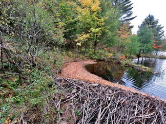
 The rest of the trail was damp with several wet and muddy spots. At the next trail junction we turned left on the Quick Lake Trail to head for the bridge across the outlet of Frick Pond. We walked along the west side of Frick Pond to the bridge across the outlet of the pond. The mudhole was wet but not muddy as the drainage work and the stepping stones did their job. We stopped at the bridge to admire an impressive new beaver dam that had been constructed. The dam was high and solid with branches interweaved and a large number of rocks! It seemed that the beavers were responding to attacks on their dams by building an even studier structure. I did notice there were more tracks in the dirt indicating that someone had brought in a large machine! In the past, I have tried to determined who was responsible for the devastation of his environment. I have called everyone from the local ranger to the Region 3 office to the state DEC offices. Either someone has taken it upon themselves to do this or the DEC does not want to admit they have given permission. This lack of transparency is disturbing. I know that if I did something similar there would be heavy fines. Sheena and I stopped so that Icould get out the camera to take pictures of the dam and the pond. The leaves here were also beautiful both around the pond and on Beech Mountain. When I was done, I put away the camera and Sheena and I walked up the hill to continue back to the car. We continued along the trail to to Gravestone Junction. The tracks of the machinery were still very obvious and had chewed up the trail with no regard to the work done by maintainers. We passed the Lobdell Memorial marker just after Gravestone Junction. The marker is a memorial to two children who died in the 1930's in a fire that consumed their cabin. The trail to the memorial was well-worn but the marker was standing intact. The trail back to the register was damp and muddy in spots but not as wet as I expected. We passed the trail register heading toward the parking area and continued straight ahead to follow the woods road out to the car. When we arrived at the car, I was very happy and thanked God for helping me make the entire trip. It was 2:45 PM and we had hiked 7.2 miles in 4 hours and 45 minutes with 15 minutes of stopped time. The elevation gain of 1214 feet. Our overall average speed was 1.5 MPH with a moving average of 1.6 MPH. This was much slower than I had hoped but I was not too disappointed given the circumstances. The temperature had risen from 64 to 68 degrees! I hurried home as I was already 15 minutes late for my ambulance shift!
On Tuesday, September 29th, I had ambulance coverage from 8:30 AM to 2:30 PM. I decided to once again go to Parksville as it is close and has a nice waterfall with rapids above and beow. I started getting ready at 9:15 AM with the temperature at 58 degrees on the back porch and overcast skies with some blue and some clouds. As I was getting dressed, Sheena sniffed my clothes to confirm we were going to hike. I got dressed in my Mammut long-sleeved crew shirt without a baselayer. I put on a pair of RailRiders hiking pants which are expensive but last a long time and have features like deep pockets and a generous cut which I really like. I decided to put on my Keen Durand hiking boots which fit well. I added a new pair of Xstance insoles in an effort to find the best support and cushioning for my feet. These insoles have shock absorbing gel pads, TPU arch support, and memory foam cushioning all wrapped in a breathable fabric. The insoles have been hyped by their manufacturer and seemed to be living up to their claims. I grabbed a pair of Leki Micro Vario poles I have been using for some time because they are light and lock without slipping. I decided to wear my OR BugOut gaiters as a defense against the ticks that are looking for a warm home and a meal! I also put on my Mammut hoody as it has enough zippers to dump heat. I put the ecollar on Sheena and turned it on. I put my gear in the back of the car and Sheena in the back seat. We left Livingston Manor at 9:35 AM with the skies still overcast. I drove out Old Route 17 toward Parksville and just after Fox Mountain Road, I pulled into the parking area on the right side of the road where there was a DOT truck parked. We started out on the trail at 9:50 AM with the temperature at 56 degrees.
The first part of the trail was dry due to the direct sunlight. There was no standing water as this part of the trail drains well. The trail was about as I expected with some areas of mud in all the usual spots. The rail trail runs parallel to the Little Beaverkill and the new section of State Route 17. It follows the route of the O&W railroad and is very flat. The water level in the stream was still high but not as high as I expected as there has been some rain. Almost immediately I looked up to see a surveyors transit with a young man standing next to it. I called Sheena to me and we stopped so I could talk to the surveyor. He told me he and his partner were surveying the trail so that the state could surrender the land to another entity to speed up the development of the trail. After a few minutes Sheena and I continued our hike. We soon ran into the other member of the survey team. We exchanged greetings as we passed by. Someone had cut and cleared the blowdown that had been laying on the trail. As we continued to hike, we passed several benches placed for people to rest. We did run into another blowdown hanging over the trail. We were soon at the beginning of the wooden walkway but did not stop at this area as this area has become overgrown and it is hard to get a good view. We crossed the wooden walkways and bridge which were not slippery as they were almost dry. I knew that the work the Town of Liberty crews had done on the bridge and some spots on the trail had held up under the recent rains from the storms. We came to the bridge and found that the work done to prevent erosion worked perfectly. The water coming down the stream was reduced since our previous visit and it fell over the large boulders that had been placed and was directed through the culvert. The culvert under the bridge was clear and allowing water to drain downhill. The large boulders now held back the dirt and stones that often wash down the hillside to block the flow of water through the culvert. The crushed stone on either side of the bridge held and remained in place. In a very short distance we came to the area where a large mudslide had brought trees and dirt down onto the trail. This area had been cleared and crusher run added to replace the mud. The area was well drained with no mud or standing water. The grass from the hay that had been spread was very green and holding the soil together to prevent a mudslide. I noted the other places where they had done work and all of it seemed to be holding up well.
We continued on the trail heading toward the falls. As we walked toward the falls, I could hear the noise from the stream. When we came to the falls, I saw that the water level was not quite as high as I expected. I took a peek at the falls from above and then we pressed on towards Parksville. I took a moment to look at the rapids above the falls as we passed. The rest of the trail was wet with standing puddles but they were easy enough to walk around. I looked up to see a woman pushing a baby stroller with a shaggy dachshund. We said "Hello" as we passed and I noticed there was no baby in the stroller. We continued our hike through some areas of mud. Soon we were nearing the Parksville end of the trail. The large dog across the stream was missing. On the Parksville end of the trail we found the small garden and a very informative sign. The pack of barking dogs that always greets us was not there and here was no loud music. The sign listed the businesses and hotels that existed in Parksville during its heyday. The Young's Gap Hotel had room for 600 guests! The sign also explained the role of the railroad in the dairy industry which was a thriving one in all of Sullivan County. We turned around and headed back toward the car at 10:15 AM meaning our hike out was 25 minutes! We set what I thought was a faster pace on the way back. We passed the falls and continued our quick pace. We passed the mudslide and continued and I made sure that Sheena was beside me. We met the woman with the stroller and passed by quickly. We continued along the trail and soon were nearing the open part of the trail near the parking area. The surveyors will still there. We were back at the car at 10:40 AM having walked back to the car in only 25 minutes. We complete the whole hike in 50 minutes. I was a little surprised as I had not intended to walk that quickly. I did feel much better and more relaxed. The temperature at the car was 60 degrees!
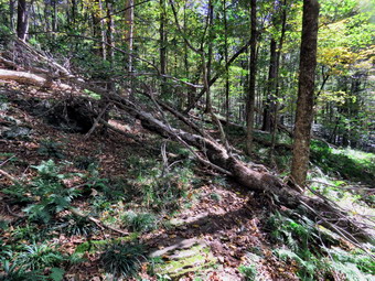 On Friday, September 25th I wanted to go across the street to cut a large blowdowns on Round Top. I had ambulance coverage all day which is rare. I had ried to find someone willing to cut this large tree across the trail with a chainsaw but had no luck. I knew that anything can be cut with hand tools so I decided to do what I could. I asked Cindy if she would go with me and she agreed. I like having someone with me when using sharp tools and Cindy is able to work the saws also. We both had some early morning work to do so we waited until noon to start to get ready. When I woke up at 6:30 M the temperature was 32 degrees on the back porch but by noon it was around 62 degrees. As I began to get ready, Sheena was watchong me carefully as I was getting ready so that she would not miss a hike. I got dressed in my Columbia OmniShade top without a baselayer. I put on a pair of RailRiders hiking pants which are expensive but last along time and have features like deep pockets and a generous cut which I really like. These pants do not have Velcro closures at the ankles to discourage sticks and gravel from getting into my shoes and to combat ticks. I decided to put on my Keen Durand hiking boots which fit well. I added a new pair of Xstance insoles in an effort to find the best support and cushioning for my feet. These insoles have shock absorbing gel pads, TPU arch support, and memory foam cushioning all wrapped in a breathable fabric. The insoles have been hyped by their manufacturer and seemed to be living up to their claims. I put on my OR BugOut gaiters to block the ticks and fend off the mud I expected to find. I put my Silky Sugowaza curved saw and LT Wright machete in my pack. I decided to carry my Fiskars light ax which I had just sharpened. I also took my Silky KatanaBoy 500 because of the size of the blowdown. The Sugowaza is a fixed blade in a scabbard and is great for branches and smaller trunks. The KatanaBoy has very large teeth and a lot of them and folds. At 12:15 PM I put all of our tools in the back of the car and Sheena in the backseat and drove across the street to Orchard Street. I followed Orchard street to thee roads in the cemetery and drove to the highest spot where the trailhead is located. I parked the car and we got out all the tools and started out on the trails.
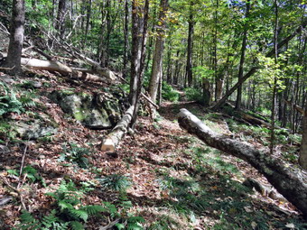 At the first trail junction, we turned right and started up the woods road which has the gentler approach of the two. It was a pleasure to walk on the trails and it was obvious more people were using them. We almost immediately ran into the blowdown which was larger than I remembered. We put down all the tools and I took some "before" pictures. The first thing I always do is to clear all brush surrounding the main blowdown. Next, I used the smaller Sugowaza to cut away all the small branches that might bet in the way. I moved on to cut a small tree that the larger one had brought down. I made the required cuts and dragged the branch off the trail and pitched it off the side away from the work we were doing. I cut a large branch attached to the main trunk and got rid of it. I stopped to take a few pictures. Now it was time to attack the main trunk. It is important to plan ahead. Planning includes how many cuts to make to strike a balance between as few cuts as possible and sections that can be handled by the people available. Decisions must also be made on what tool to use for each cut. I some ways saws are easier but they can bind if care is not used. Using the ax requires having a stable place to put your feet. An axe also requires a much wider cut so that there is room when you each the bottom of the trunk. My first act was to cut the top of the tree off the trail using the ax. To do this I needed to climb up on a rock, secure my footing, and clear some small branches out of the way. I made the cut in the narrowest area I could find and was glad I had sharpened the axe.
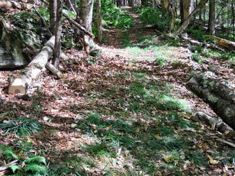 When I was done, Cindy and I decided we would cut a section out of the main trunk that would fall at the side of the trail and open up the trail for hikers. We picked a narrow spot and I sorted in with the larger KatanaBoy saw. This has larger teeth and a lot of them so it cuts more on each stroke. The problem is that the saw requires strength and some real stamina. I got about a quarter way through and then handed the saw over to Cindy. She made a good effort before I took it back. I was surprised what a difference the short rest made. We switched one more time and I finished the cut. The section fell almost where we wanted it. I was able to lift one end and maneuver it off the trail. I took some more shots and decided to take a little break. We walked up the trail to a much smaller blowdown across the trail. I made one cut with the Sugowaza and pulled the section across the trail off the trail. We went back to the original blowdown. Although the trail was passable I wanted o cut at least one more section. This time picked the spot I wanted and used the axe to make the cut. I knew I would have to do all the work as Cindy could not use the axe. I tried to make sure that I started out with a wide cut. The axe bit in to the maple pretty well and I made good progress. As I got toward the bottom of the cut, it was obvious that it would be hard to finish with the axe. I finally got out the KatanaBoy and Cindy and I finished the cut. The section that we had cut off was large and heavy but I was able to roll it off the trail. I wanted to make one more cut to really clear the entire width of the trail but I was tired. The next cut would be in an area where the trunk was even wider. I hoped I could get back to finish the job or find someone with a chainsaw. I took some final pictures and we packed up to leave. Sheena, who had been leashed a good part of the time, ran around as we started back to the trailhead. On the way out we met a couple stating in to hike the trails with their dog. We were back at the car at 2:30 PM after taking 2 hours to do the work.
 On Thursday, September 24th, I awoke at 6:30 AM and noted the temperature outside was 37 degrees! I had ambulance coverage from 8:30 AM to 1:30 PM and decided I would do a shorter hike so that Cindy could go. The forecast was for blue skies with some clouds amd temperatures in the 60s. I asked Cindy if she would like to hike along the Beaverkill at the campgrounds. She said "Yes" as her Bible study was canceled. We both had some things to take care of around the house so we did not begin to get dressed until 9:30 AM with the temperature at 55 degrees. The fog that had been present earlier was gone. We knew that the campgrounds were closed and no one would be camping at the Beaverkill Campgrounds. As usual, Sheena was excited but was trying to be the "good dog". I got dressed in my Columbia OmniShade top without a baselayer. I put on a pair of RailRiders hiking pants which are expensive but last along time and have features like deep pockets and a generous cut which I really like. These pants do not have Velcro closures at the ankles to discourage sticks and gravel from getting into my shoes and to combat ticks. I decided to put on my Keen Durand hiking boots which fit well. I added a new pair of Xstance insoles in an effort to find the best support and cushioning for my feet. These insoles have shock absorbing gel pads, TPU arch support, and memory foam cushioning all wrapped in a breathable fabric. The insoles have been hyped by their manufacturer and seemed to be living up to their claims. I put on my OR BugOut gaiters to block the ticks and fend off the mud I expected to find. I grabbed a pair of Leki Micro Vario poles I have been using for some time because they are light and lock without slipping. I put our gear in the back of the car and Sheena in the back seat and left the house at 9:50 AM. I drove out Old Route 17 toward Roscoe and turned right on Beaverkill Road. As we started the descent into the Beaverkill Valley, I turned left on Campsite Road and followed it down to the parking area near the Beaverkill Covered Bridge. There was one car parked in the lot with no one inside. A glance at the river showed that the water level was actually much lower than I had expected.
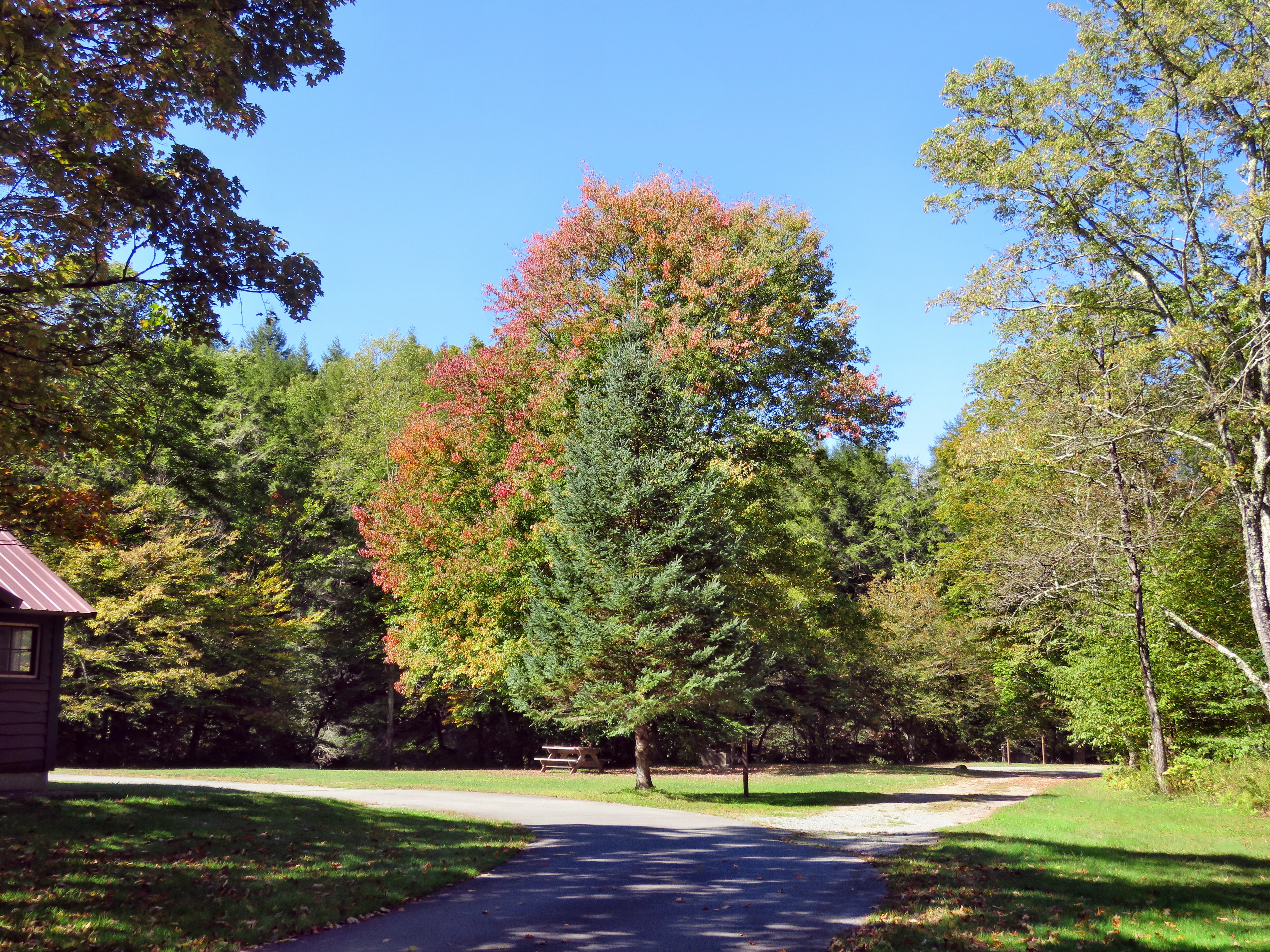
 I let Sheena out of the car and put her on her leash. We started our hike at 10:15 AM by walking out of the parking lot to the bridge with the temperature at 51 degrees. When we got to the other side, the gate that blocks the road along the river and through the old campsites was missing. I looked at the trail and saw that it had no water or mud and that the grass was green and mowed. We turned left on a woods road that parallels the river and started down the short hill. At the bottom of the hill I let Sheena off her leash. I had decided to take some pictures on the way out. We passed the spring house on the right and the ditch that runs from the spring which had some water plants already growing. When we got to the first culvert, I noticed that the path down to the edge of the stream was eroded and very steep. I decided not to attempt to get down to the stream that way. I walked just passed this area and then decided there were no interesting shots. I also noted that the bright sunlight would make photography problematic. We continued our walk along the woods road which had short green grass. Sheena was running ahead of us back and forth following game trails and sniffing the air.
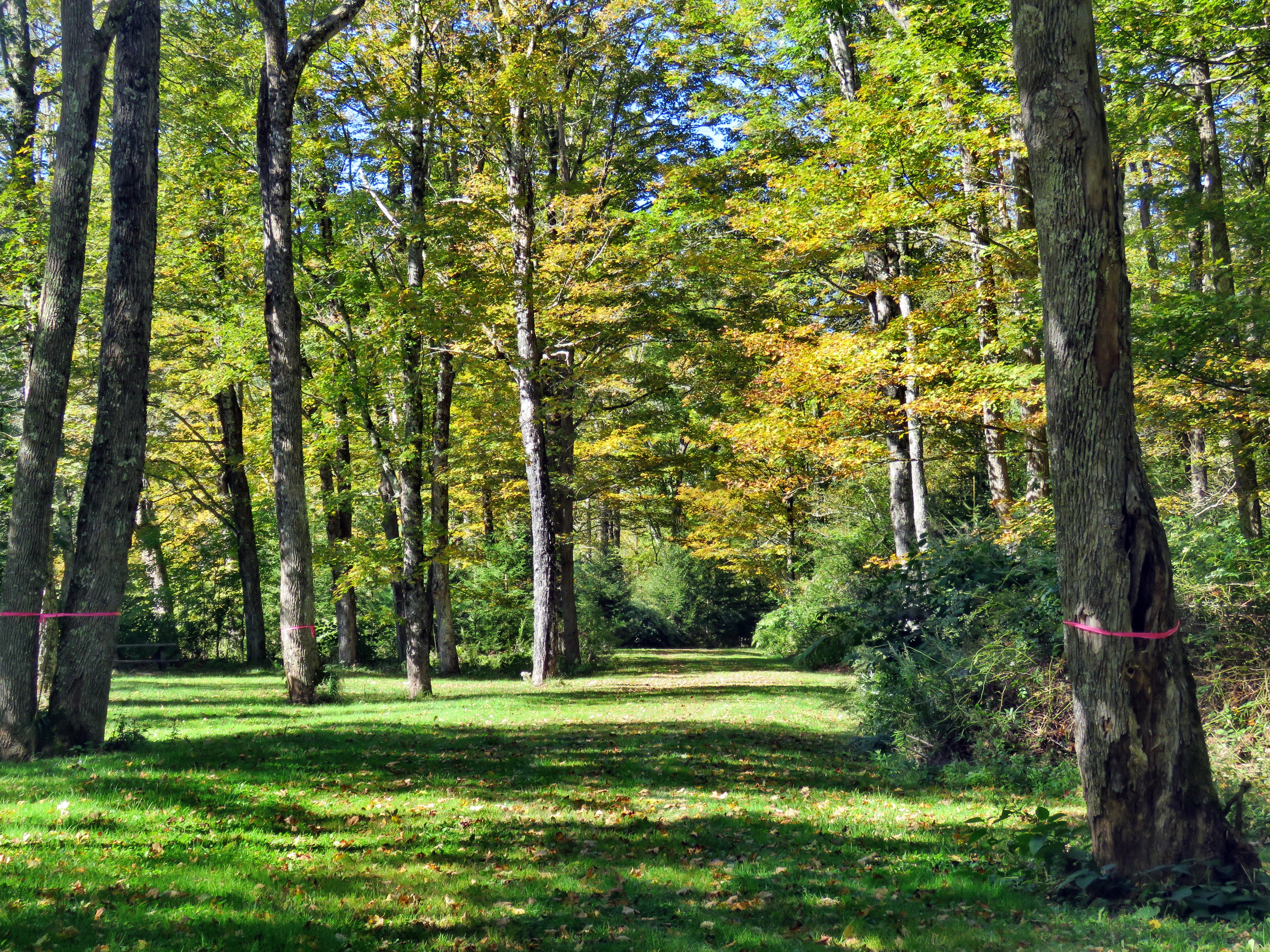
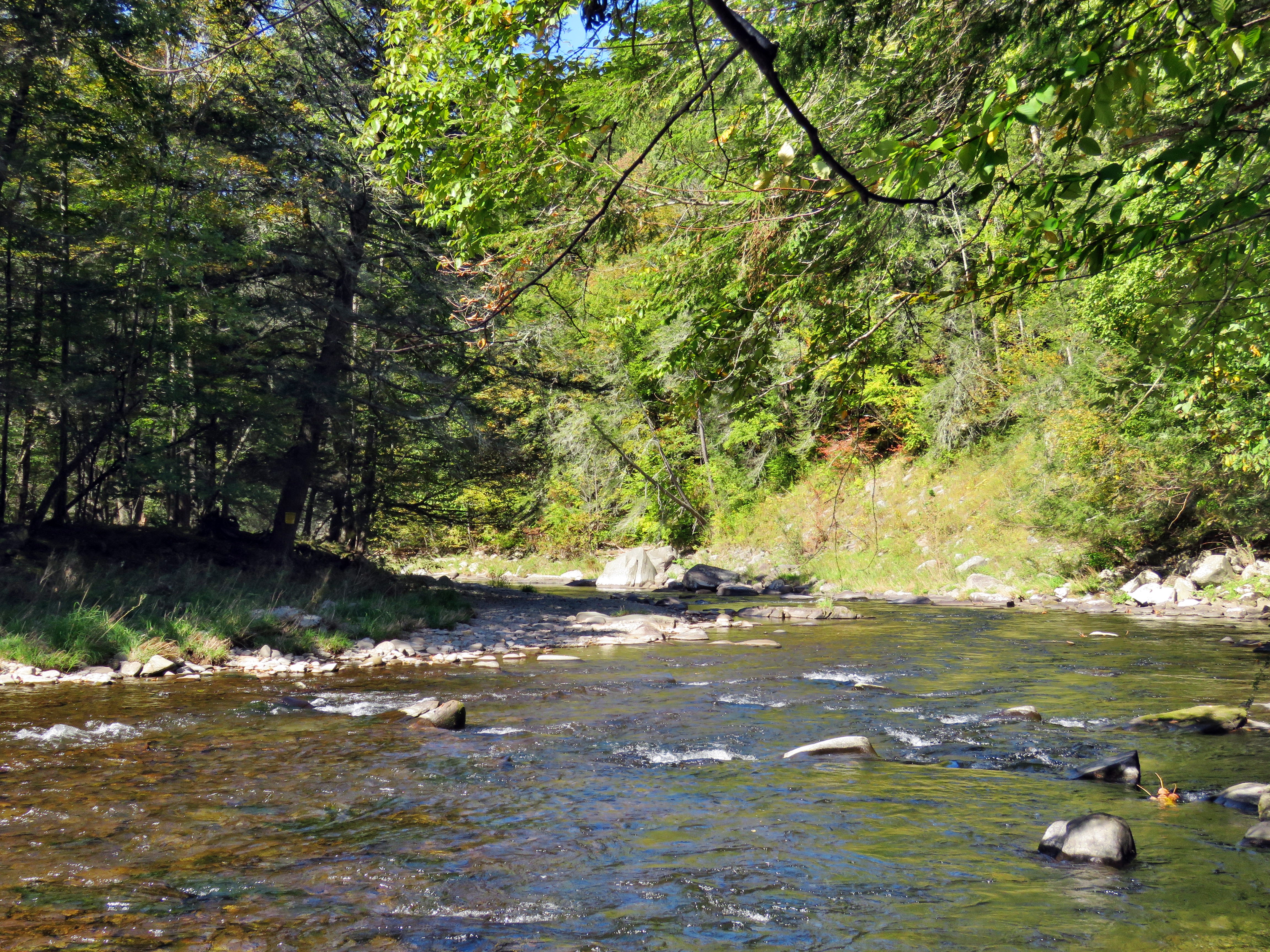
 Along the way, some picnic tables blended into the landscape. The whole area had a haunted feeling enhanced by the sound of the flowing water. On the trail we passed by several areas with picnic tables. These tables looked relatively new so that they could be used by visitors. We walked by more tables which had not been used in years. I stopped to take a few shots of the woods road and the picnic tables. Orange ribbons on several trees indicated that these trees were dead and wood be cut down for safety reasons. At this point we could hear a loud engine noise on the other side of the stream. I thought it might be a large truck whose driver was not familiar with the height restrictions on the historic covered bridge. Soon we could see over a dozen motorcycles pulling into the parking lot! I had no idea their intention but thought it was a beautiful day for a ride. Soon we came to what was once a bathroom for some campsites that had long since disappeared. There were more tables in this area. We stopped and I walked to the stream where rocks had been piled up and contained by wire screen. I walked to the edge and carefully stood on some rocks to take more pictures of the stream in both directions. The bright sunlight made taking the pictures difficult. Sheena came over and stood on the wall next to me. The rapids in this area were more turbulent even though the water level was low. The sunlight sparkled off the water and penetrated to the bottom as the water was very clear. We continued on the woods road and at about .7 miles into the hike the woods road met the paved road that serves the campsites. We continued on the road through the campsites and along the river. Many of the campsites have a cement block fireplace with a grill but some were upgraded to poured concrete. Everything was quiet except for the water in the river and some maintenance workers repairing the road.
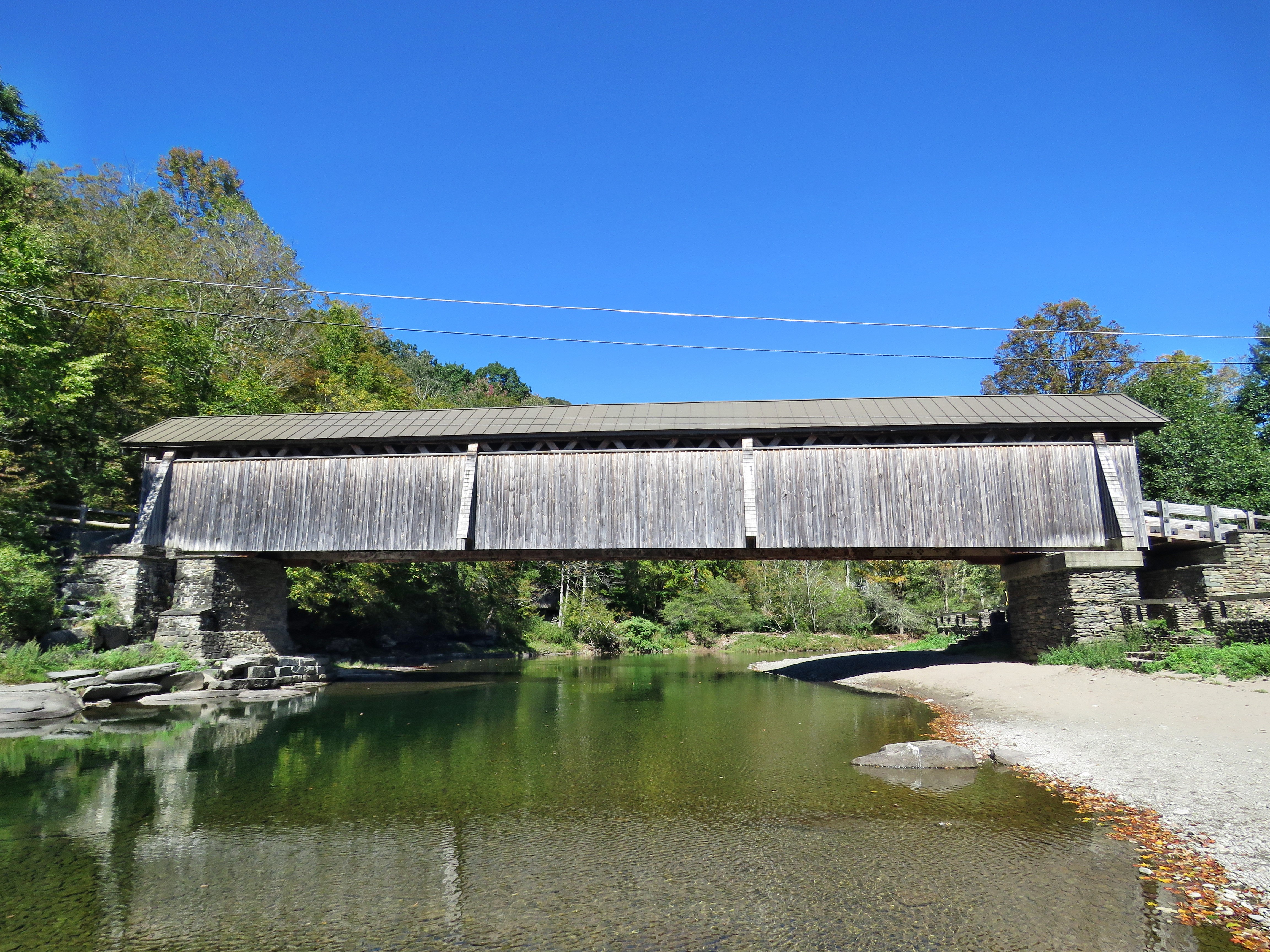 We walked along the paved road to a bathroom where Cindy decided to take a break by sitting on a picnic table. Sheena and I continued straight ahead to the last campsite. Where the road ends, we walked down to the edge of the river. I was careful to watch where I was walking as the side of the stream was muddy. Sheena immediately went wading and got a drink from the stream. I got pictures of the stream from different locations, angles and zooms. I stopped to take some pictures of the river especially downstream. I walked back up to my pack and stowed the camera. We walked further downstream along the bank. We stopped when the oath stopped and I took some shots of the river as it flowed around a big bend. We turned around and walked back on the path to the campsite road toward the last bathroom where Cindy had decided to await for us. Where the road split, there had been a gathering of picnic tables where there were now only one or two. Cindy joined us and we stayed to the left to walk the parallel section of road back through the campsites. The road parallels the one we walked out on to make a sort of loop. We continued along the woods road to the maintenance building and stayed right to walk back on the woods road we had come out on. I let Sheena off her leash so she could have some more time to run around. We followed the road back to the next bathrrom when I realized I had somehow lost Sheena's leash! We turned around to go look for it. Cindy seemed to want to walk much faster so I sat on a bench with Sheena and waited for her to get back. When she finally returned, she did not have the leash. I knew it had to be between where I was and the maintenance buildings so I got up and walked back that way. I did not find the leash so I yurned around and headed back. Just before I was back where I had started, I spotted the leash on the ground and picked it up. We continued to hike back on the road toward the bridge. We climbed the small hill before walking through the bridge. We turned right to head back to the parking area. We went back to the car where Sheena and Cindy got in. I went down toward the river's edge but stopped to take some pictures of the bridge from the bank before descending the stairs. I walked down the steps to the stream and walked over to the large rock where I often take picture. The rock had been covered with water for the last few times I had been there but was now completely exposed. I took pictures downstream at different zooms and then took pictures of the bridge. I walked back to the car and stowed by camera. We had finished hiking at 12:30 PM after hiking almost 3 miles in 2 hours with at least 15 minutes of stopped time for pictures. The car's thermometer read 64 degrees and the skies were still blue and sunny.